Commercial Property Map Design

Carve creates bespoke maps, masterplans, site plans and floorplans for commercial property marketing across the UK.

From regional location maps and drive-time graphics to development masterplans and annotated aerials, we turn complex property and location information into clear, easy-to-understand visuals for brochures, websites, signage and wider marketing campaigns.

Our approach is simple: a good property map should take you to the junction, not just the town.

UK map with major routes - property location map
‘B1RMINGHAM’ typographic graphic

Maps designed for commercial property marketing

Location is often one of the first things an occupier, investor or adviser wants to understand, and a well-designed map can explain it faster than paragraphs of copy.

Depending on the property, that might mean showing motorway connections, rail stations, airports, drive times, surrounding towns, local amenities or neighbouring occupiers. For development sites, the focus may instead be access, plot boundaries, phasing or the wider masterplan.

Every map is created around the property and the campaign, using the relevant identity, colours and typography while keeping unnecessary detail out. The result is a graphic that communicates the information that matters quickly and clearly.

Bessborough Gardens brochure page - ‘panoramic views taking in Battersea’
Illustrated location map of a rural estate
Location map graphic on a brochure

What we provide

Location maps

Regional, local and street-level maps showing transport connections, surrounding locations, amenities and key occupiers where relevant.

Masterplans and site plans

Architects’ plans styled and simplified for use in property brochures, websites, signage and marketing material.

Floorplans and property graphics

Floorplans redrawn for clarity at print and screen sizes, alongside supporting icons and specification graphics where required.

Annotated aerials

Drone and aerial photography overlaid with boundaries, access points, roads, occupiers and other useful site information.

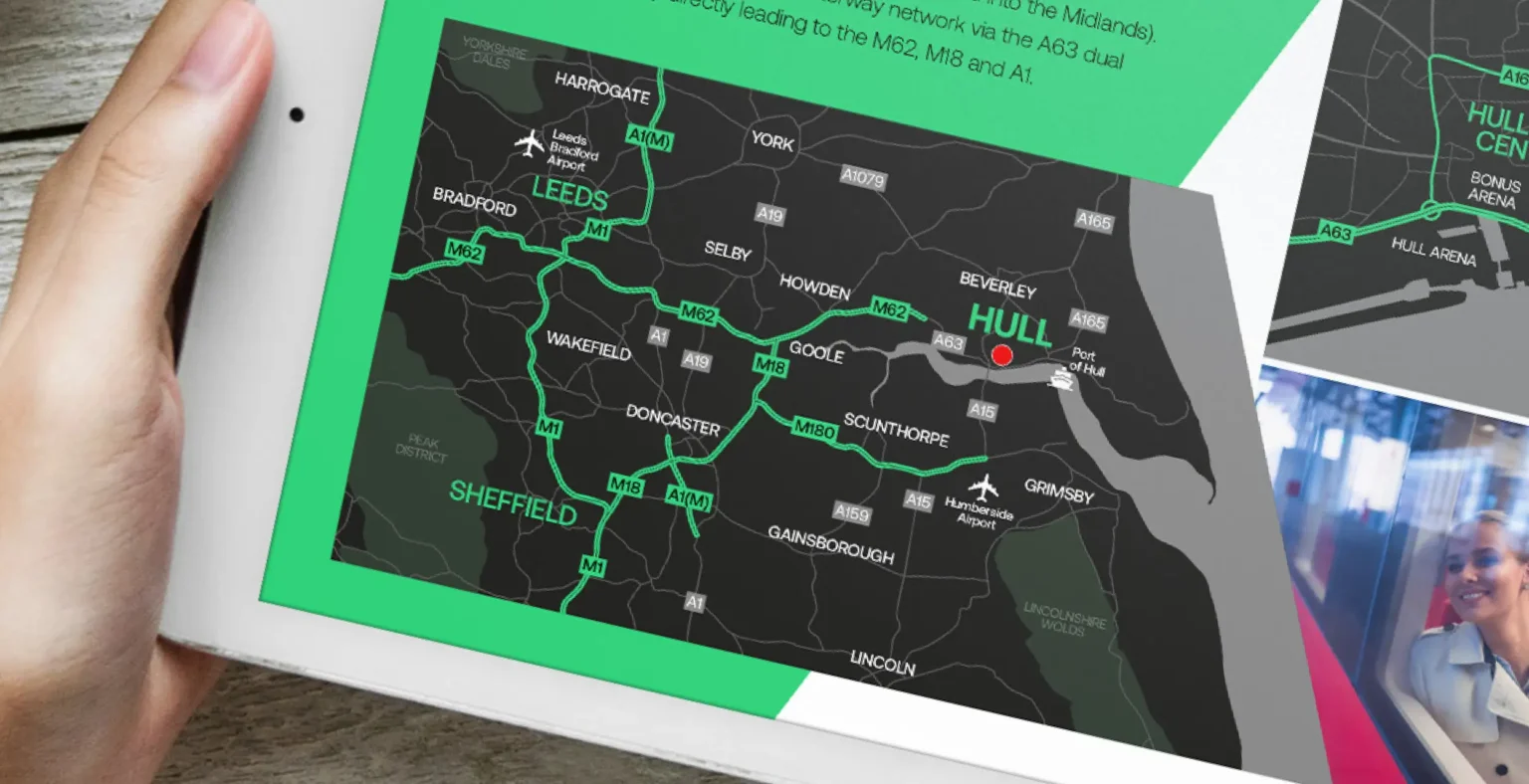
‘Location’ map of Hull city centre
Map of the Humber estuary with the Humber Bridge
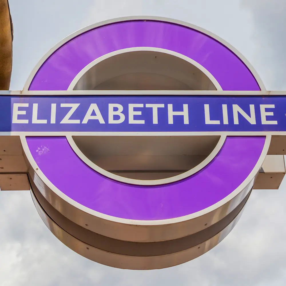
Elizabeth line roundel at a station
Elizabeth line journey-times diagram
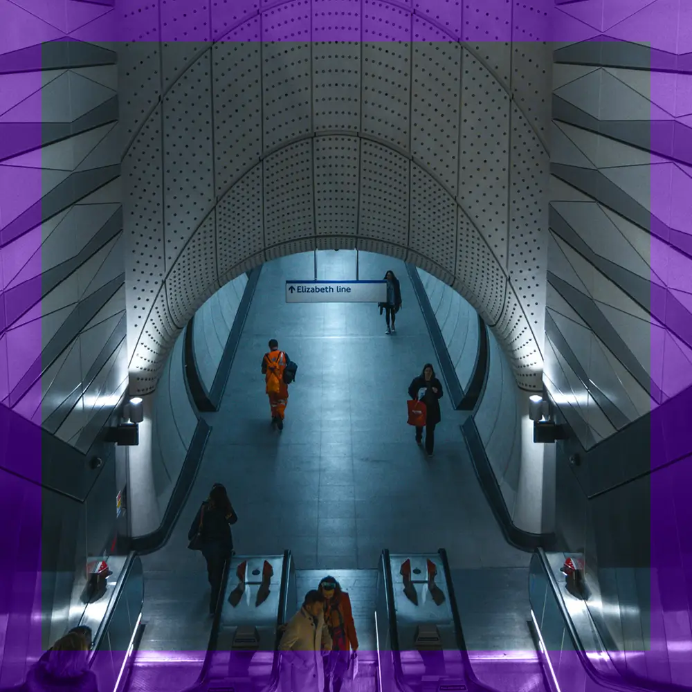
Underground station interior in purple

Making location easier to understand

Commercial property marketing often needs to communicate several levels of geography at once - where the property sits in the region, how it connects locally and how the site itself is arranged.

A strong set of maps and plans can move from the wider location down to individual buildings, plots or floors without losing clarity.

Because the same graphics can be used across brochures, websites, email campaigns, boards and presentations, they also help keep the property’s location and site information consistent throughout the wider campaign.

Illustrated map of Nottingham city centre
Transport icons - car, train, tram and plane
‘M1 J28’ junction graphic
Location map on a tablet in yellow and blue
Location map spread on a tablet
‘HGV drive times’ graphic
Map of the Midlands with drive-time zones
Location map of Hamilton with Premier Inn
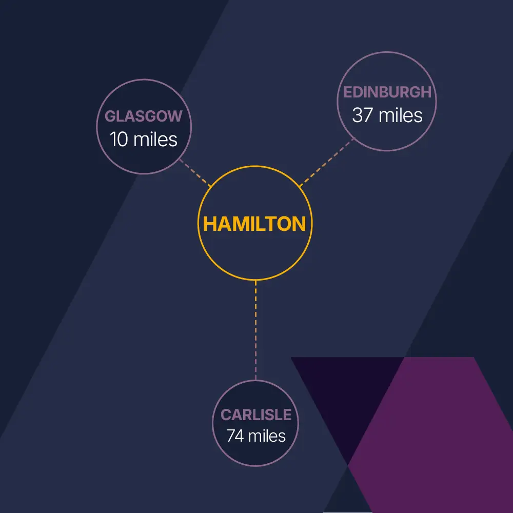
Drive-time map - Hamilton to Glasgow and Edinburgh

Selected maps and plans

Masterplan styling, masterplan illustration and a city-centre location map.

Need maps or plans for a property campaign?

Send us the location and any architects’ drawings and we’ll produce maps, masterplans and floorplans to match your brochure and website.

Talk to us about maps

Get in touch by email or call 0116 271 1466